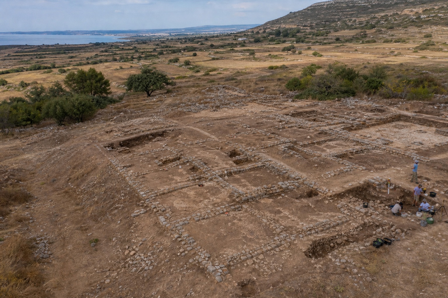
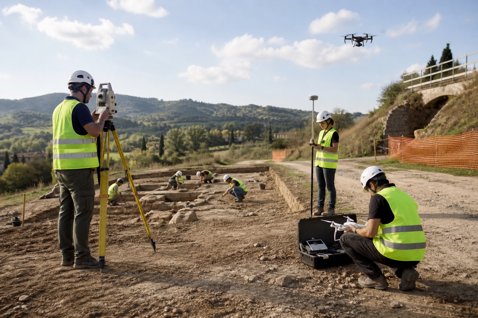
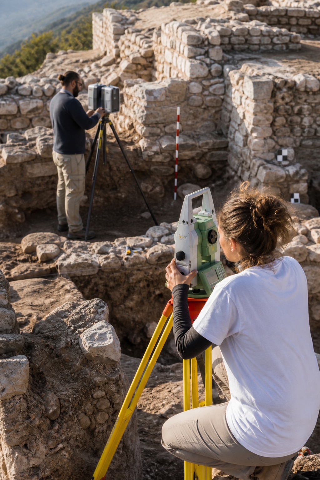
Cartographic processing and graphical presentation of survey data, thematic mapping for research, heritage protection and conservation, technical drawings of finds in raster and vector formats, and three-dimensional models of monuments, sites and artefacts.