Services

Topographic surveying and geophysical investigations

THE SERVICE

Topographic surveying

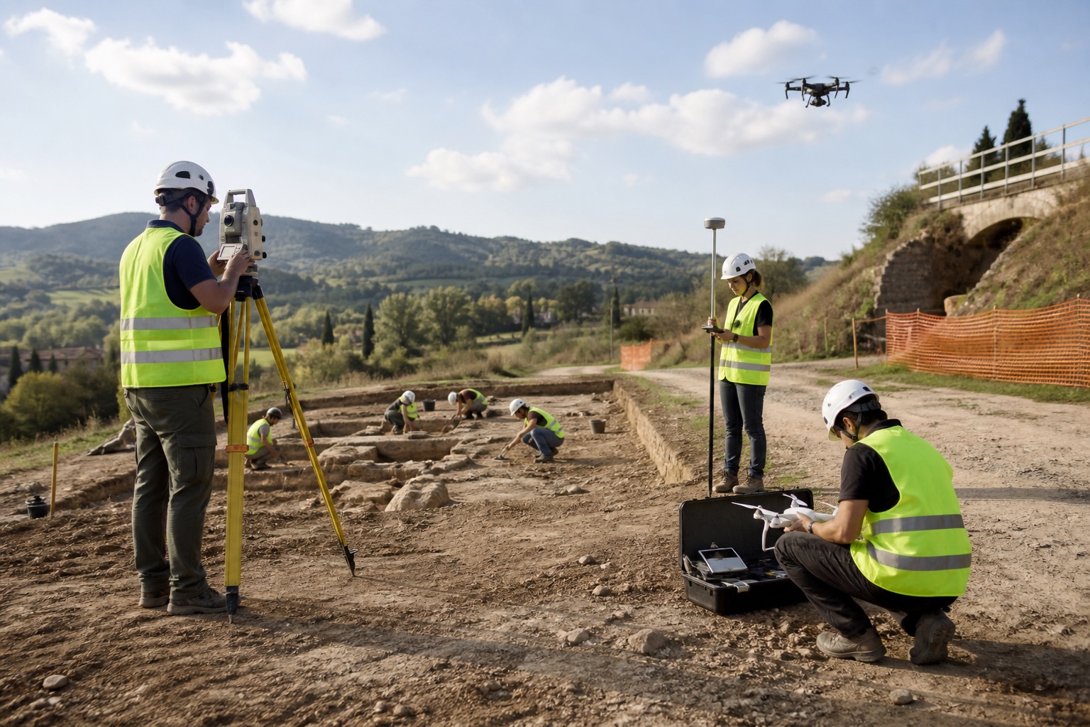
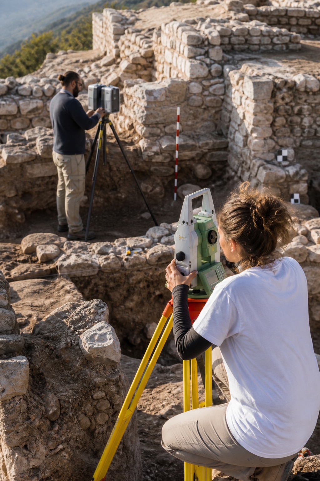
ArcheoServizi provides specialist topographic surveying and geophysical investigation services, using advanced instruments and innovative methods to document, analyse and understand archaeological, architectural and landscape heritage.

01

Surveying

Precision topographic surveys using total stations and GPS systems to document archaeological sites, monument complexes and wider landscapes, with reliable data acquisition and accurate, scientifically rigorous outputs.

02

Geophysical investigations

Geophysical investigations for archaeology, undertaken through specialist collaborations, enable non-invasive exploration of the subsurface and the identification of archaeological remains and structures. They support research planning while reducing ground disturbance.

03

Models and drawings

Cartographic processing and graphical presentation of survey data, thematic mapping for research, heritage protection and conservation, technical drawings of finds in raster and vector formats, and three-dimensional models of monuments, sites and artefacts.

CONNECTED EXPERTISE

Explore our other services.

ARCHEOSERVIZI

What are you looking for?

Explore services, projects and articles.